

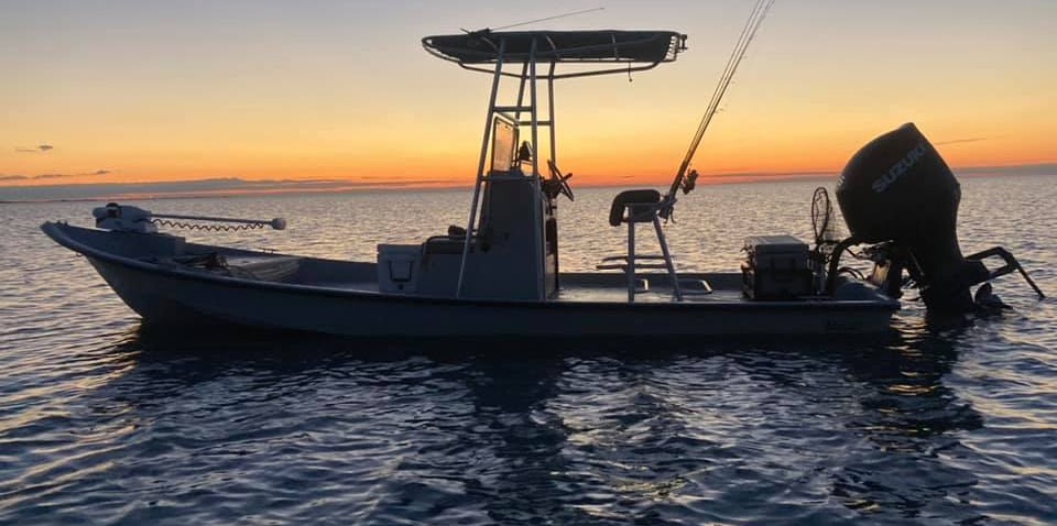
Nearshore, River, Lake in Cleveland
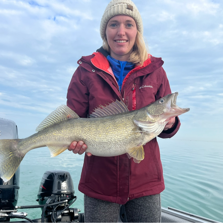
Trophy Walleye Night Bite (Oct-Dec)


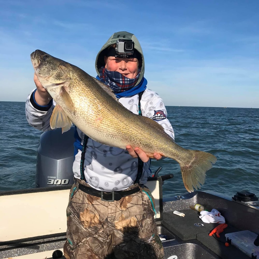
Cleveland /Lorain Trophy Walleye
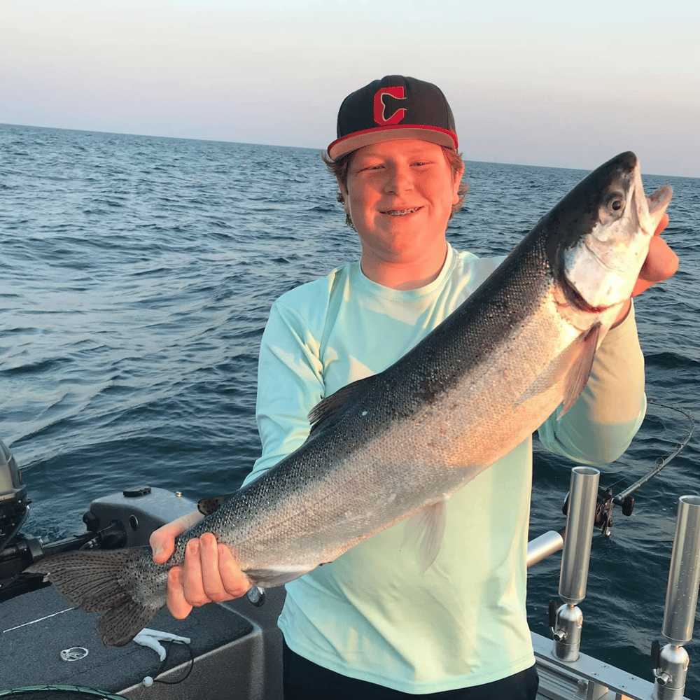


Full Day Trophy Walleye & Steelhead


Rockport Cast And Blast


2-Hour Lake Erie Trip (Evening)


Duck Hunting in Corpus Christi
Coastal Bend Duck Assault
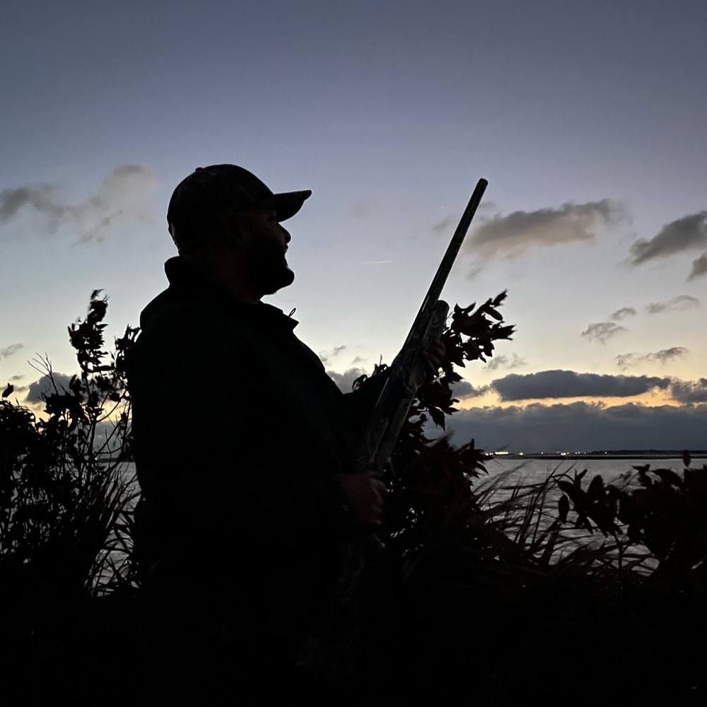


Chasing Pins On The Coastal Bend


Gulf Coast Duck Hunt


Ingleside Texas Duck Blaster
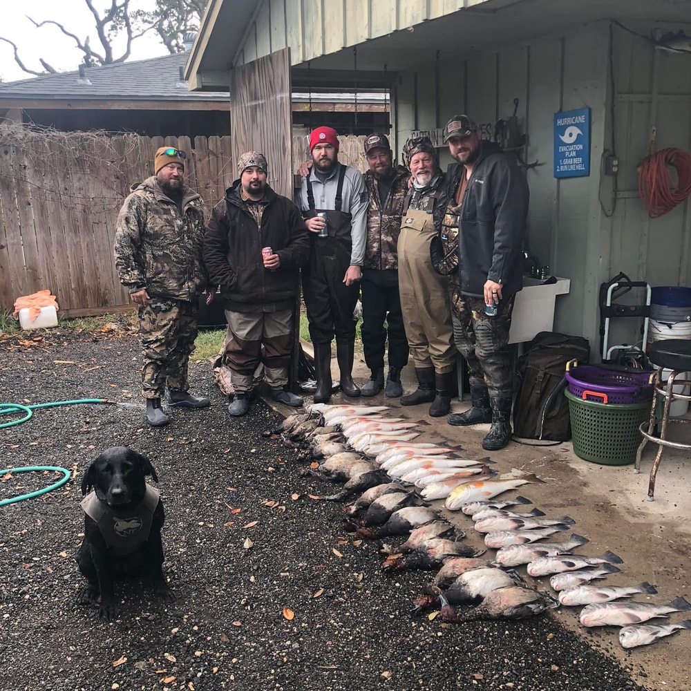

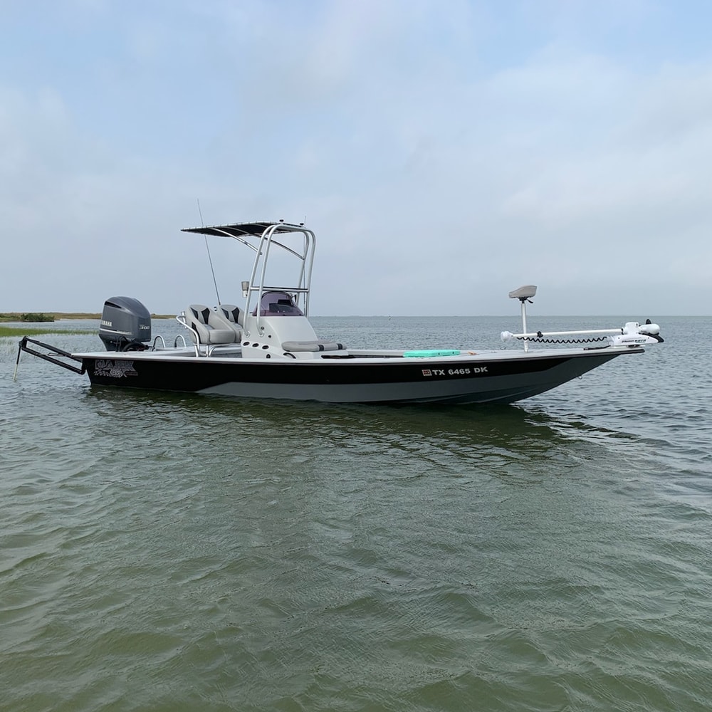
Texas Coast Cast And Blast
We started Captain Experiences to make it easy to book fishing and hunting guides around the world. With over 2,000 Damn Good Guides, our platform makes finding and booking a trip seamless. Head here to check out our trips.
On April 8, 2024, Americans in every state will have the chance to witness either a partial or total solar eclipse. Solar eclipses materialize when the moon passes between the earth and the sun, casting a shadow on the earth’s surface and partially or fully obstructing the sun from view.
Despite the relative frequency of solar eclipses, occurring approximately two to four times a year, the geographic path of totality—the region where viewers can experience the complete blockage of the sun—is small. Consequently, for individuals in any given location, the opportunity to observe a total solar eclipse is an extremely rare event. NASA notes that, on average, this phenomenon occurs roughly once every hundred years. However, some regions may experience total solar eclipses more frequently.
For instance, the most recent total solar eclipse visible in the U.S. took place in 2017, with the path of totality extending from Oregon to South Carolina. Prior to 2017, only two solar eclipses in the 20th century had totality paths that overlapped some portion of the United States. Looking ahead, the next coast-to-coast total solar eclipse won’t occur until 2045.
The 2024 Solar Eclipse Path of Totality
The April 8th solar eclipse path of totality stretches from Texas to Maine

Source: Captain Experiences analysis of NASA data shown on Google Maps. The 2024 totality path is shown in blue; the 2017 totality path is shown in purple.
Compared to the 2017 total solar eclipse, the upcoming 2024 event will boast a wider and more populated path of totality. While the totality path in 2017 averaged 60–70 miles in width, the 2024 eclipse will span approximately 110–120 miles.
Moreover, the path of totality for the 2024 eclipse encompasses a greater number of major U.S. cities compared to that of 2017—notably, several large cities in Texas. As a result, an estimated 31 million Americans will find themselves within the path of totality for the 2024 event, substantially more than the 12 million in 2017. Residents in 15 states—Texas, Oklahoma, Arkansas, Missouri, Tennessee, Illinois, Kentucky, Indiana, Ohio, Michigan, Pennsylvania, New York, Vermont, New Hampshire, and Maine—will have the opportunity to witness the moon completely blocking the sun's view in 2024.
RELATED
Get ready for an unforgettable fishing adventure that will leave you hooked on New York's fishing scene. Our New York fishing guides are fully licensed and insured, and can provide an array of options to suit every angler's preference and skill level.
Largest U.S. Cities in the 2024 Solar Eclipse Totality Path
Texas is home to the top 4 largest cities in the path of totality

Captain Experiences analysis of NASA and Census data
Due to the unique path of the 2024 eclipse, Texas stands out as the state hosting the top four largest cities within the totality path and eight of the top 15. Notably, among the five largest cities in Texas—Houston, San Antonio, Dallas, and Austin—only Houston will not experience the total solar eclipse this year. Similarly, in Ohio, three out of its top four cities fall within the 2024 path of totality, including Columbus, Cleveland, and Toledo. Other major U.S. cities within the totality path are Indianapolis, IN, Buffalo, NY, Rochester, NY, and Little Rock, AR.
Another unique characteristic of the 2024 eclipse is that several large U.S. cities lie in close proximity to, though not directly within, the totality path. Residents in these cities will still have the opportunity to witness a nearly total eclipse. For instance, individuals in Memphis, TN, St. Louis, MO, Louisville, KY, Cincinnati, OH, and Pittsburgh, PA can all expect to experience at least a 95% partial eclipse.
TRENDING
Whether you're craving the tranquility of lake fishing, the thrill of nearshore adventures, or the excitement of river excursions, our expert fishing guides in Cleveland have you covered. Choose between full-day expeditions for a deep dive into angling, or half-day trips for a quick yet rewarding fishing getaway.
Population Living in the Path of Totality by State
While Texas has the most residents overall living in the path of totality, Ohio has the highest proportion

Captain Experiences analysis of NASA and Census data
In terms of total population within the path of totality, Texas leads with 12.6 million residents, followed by Ohio (7.1 million), Indiana (3.9 million), and New York (3.6 million). However, when considering the states with the highest proportion of residents within the totality path, Ohio, Vermont, Arkansas, and Indiana are this year’s frontrunners. In each of these four states, more than 57% of the population resides in areas where the total eclipse will be visible.
Conversely, only tiny slivers of Michigan and Tennessee fall within the totality path. Fewer than 10,000 residents in Michigan and fewer than 1,000 residents in Tennessee are estimated to live in areas where the total eclipse can be observed.
For Americans living outside of these areas, the April 8th event will still be worth watching—albeit using eclipse safety glasses the entire time. With the exception of Florida, most East Coast residents will be able to observe a partial eclipse with 70%–90% obscuration. Maximum obscuration in Florida ranges from approximately 45%–75%. West of the totality path, obscuration will decrease the further west and north one lives. On the West Coast, maximum obscuration ranges from around 55% in San Diego to 20% in Seattle.
LEARN MORE
From serene lake fishing to the chasing after alligator gars on the local rivers and creeks, our expert fishing guides near Dallas, TX offer a variety of trips to cater to your angling desires.
Methodology
This study was conducted by Captain Experiences using data from NASA’s Scientific Visualization Studio and from the U.S. Census Bureau’s 2020 TIGER/Line Shapefiles and 2022 American Community Survey 5-Year Estimates. To determine the states with the most people living in the path of totality for the 2024 solar eclipse, researchers identified the Census tracts in each state that overlap fully or partially with the totality path. Populations for the resulting census tracts were summed and divided by the state total population. For Census tracts that only partially overlap, populations were reduced based on the percentage of the Census tract’s area outside of the totality path.
To identify the largest places (cities, villages, boroughs, etc.) that fall within the path of totality, researchers identified the Census places that overlap fully or partially with the totality path. Only places with a 10% or more overlap with the totality path were included. Additionally, places with fewer than 1,000 people were filtered out. The approximate start time for each place was calculated by merging the Census places shapefiles with NASA’s umbra 10-second interval shapefiles, and selecting the earliest time that intersected with each place. Times were converted to Central Daylight Time or Eastern Daylight Time depending on the location.
References
The National Aeronautics and Space Administration. (2024). Eclipse 101. Retrieved on March 20, 2024 from Eclipse 2017. Almanac. (2024). Eclipse History: Total Solar Eclipses in the United States. Retrieved on March 20, 2024 from Almanac. The National Aeronautics and Space Administration. (2024). Eclipse Safety. Retrieved on March 20, 2024 from NASA. The National Aeronautics and Space Administration. (2023, July 10). The 2024 Total Solar Eclipse. Retrieved on March 20, 2024 from GSFC. The National Aeronautics and Space Administration. (2024). Scientific Visualization Studio. Retrieved on March 20, 2024 from GSFC. U.S. Census Bureau. (2024). TIGER/Line Shapefiles. Retrieved on March 20, 2024 from Census. U.S. Census Bureau. (2024). American Community Survey [Data set]. Retrieved on March 20, 2024 from Census.
Jake Lane
Updated on February 19, 2025

June 22, 2022

January 7, 2022

March 8, 2022

May 13, 2024

November 7, 2023
Related Articles

August 17, 2023

June 7, 2024

September 13, 2019
Featured Locations
- Fishing Charters Near Me
- Austin Fishing Guides
- Biloxi Fishing Charters
- Bradenton Fishing Charters
- Cabo San Lucas Fishing Charters
- Cancun Fishing Charters
- Cape Coral Fishing Charters
- Charleston Fishing Charters
- Clearwater Fishing Charters
- Corpus Christi Fishing Charters
- Crystal River Fishing Charters
- Dauphin Island Fishing Charters
- Daytona Beach Fishing Charters
- Destin Fishing Charters
- Fort Lauderdale Fishing Charters
- Fort Myers Fishing Charters
- Fort Walton Beach Fishing Charters
- Galveston Fishing Charters
- Gulf Shores Fishing Charters
- Hatteras Fishing Charters
- Hilton Head Fishing Charters
- Islamorada Fishing Charters
- Jacksonville Fishing Charters
- Jupiter Fishing Charters
- Key Largo Fishing Charters
- Key West Fishing Charters
- Kona Fishing Charters
- Lakeside Marblehead Fishing Charters
- Marathon Fishing Charters
- Marco Island Fishing Charters
- Miami Fishing Charters
- Montauk Fishing Charters
- Morehead City Fishing Charters
- Naples Fishing Charters
- New Orleans Fishing Charters
- New Smyrna Beach Fishing Charters
- Ocean City Fishing Charters
- Orange Beach Fishing Charters
- Panama City Beach Fishing Charters
- Pensacola Fishing Charters
- Pompano Beach Fishing Charters
- Port Aransas Fishing Charters
- Port Orange Fishing Charters
- Rockport Fishing Charters
- San Diego Fishing Charters
- San Juan Fishing Charters
- Sarasota Fishing Charters
- South Padre Island Fishing Charters
- St. Augustine Fishing Charters
- St. Petersburg Fishing Charters
- Tampa Fishing Charters
- Tarpon Springs Fishing Charters
- Venice Fishing Charters
- Virginia Beach Fishing Charters
- West Palm Beach Fishing Charters
- Wilmington Fishing Charters
- Wrightsville Beach Fishing Charters